Point Lobos State Natural Reserve
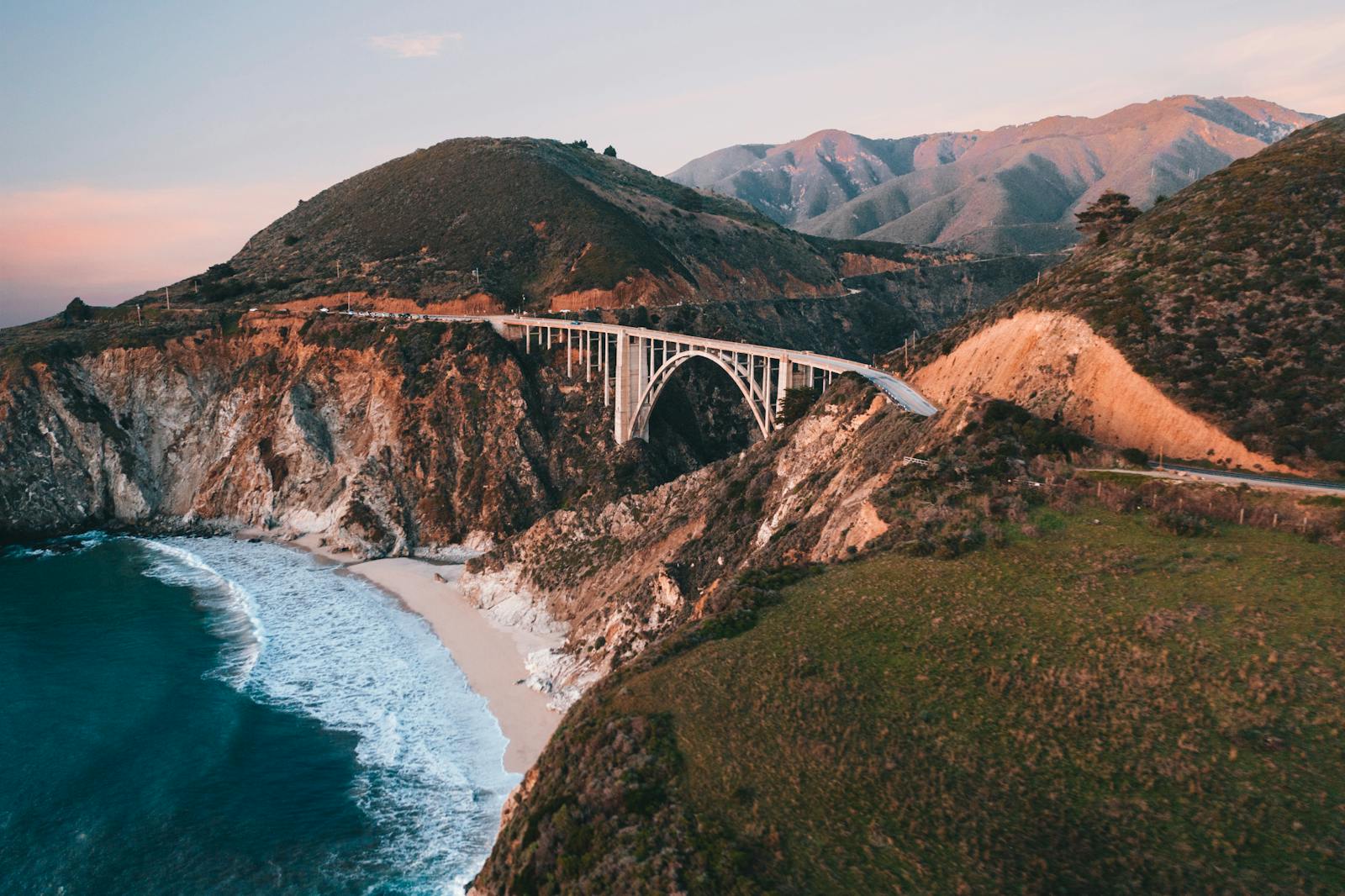
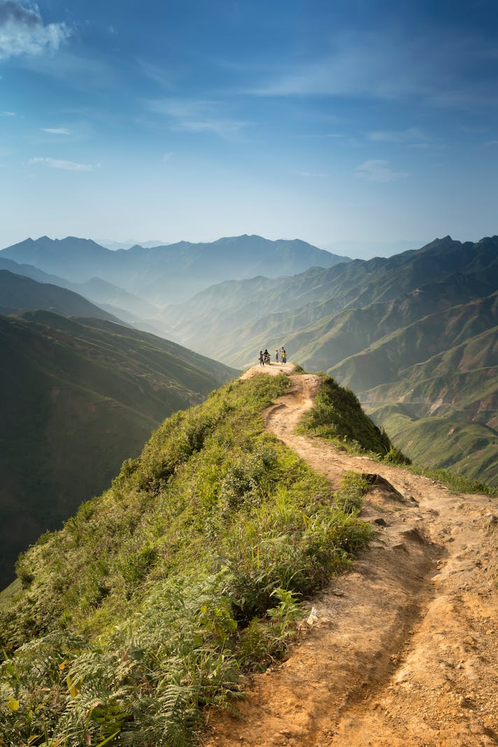
Sitting at the extreme northern edge of the Big Sur coastline, Point Lobos offers an accessible introduction to the beauty of the area. A springtime visit engages the senses most fully; harbor seals are pupping at this time, and babies cluster with mom on the beaches below. Butterflies flit across the trail, and hikers gasp at the astonishingly vibrant colors of surf, rock, and sand. Intersecting hiking trails deliver opportunities for all levels of athlete, and many of them provide wheelchair access.
The Monterey area has been inhabited for many centuries, and visitors can witness a great deal of history here. Native Americans found fresh water and copious food supplies here; in the 1850’s, the Point Lobos area became a settlement for immigrant whaling families from China. Portuguese pioneers soon followed, as did miners dredging the cliffs for coal and granite. By the turn of the century, Point Lobos City offered opportunities for dairy farming and abalone fishing as well, and Charles Lindbergh used the point to assess the viability of a glider in 1930. Hollywood producers appreciated the area’s cinematic qualities, and filmed almost fifty movies here between 1914 and 1989.
Tempting as it is to spend the entire day outside, take the time to check out the interpretive area. The Whalers Cabin and Whaling Station Museum offers information on Point Lobos’ past. Comprised of three rooms, the exhibit packs many artifacts into a small space. A docent answers questions and ‘talks story’ about the former inhabitants, and a few minutes spent here bring the history of the area to life.
In 1933, the State of California acquired the Point Lobos area, and by the twenty-first century it had become famous for a different sort of resource. A reserve (as opposed to a state park), the area underscores the protection of flora and fauna, and offers the public the chance to experience nature with minimal development. A small bulletin board in one of the parking lots provides the only commercial area, and although the reserve is often crowded, it’s always possible to find a trail that’s otherwise uninhabited.
Today, the reserve offers swim beaches, picnicking areas, and plenty of wildlife viewing. Hikers, journal-keepers, and artists/photographers in particular will stay busy along the ridges of the coast and the forest areas in the central part of the reserve. Wear good hiking shoes; while there isn’t a great deal of elevation to contend with, the unpaved trails are often rocky and narrow. Ticks live here, as does poison oak, and so it’s a good idea to keep arms and legs covered. Be sure to bring lots of sunscreen – the cool weather gives a false sense of security in this regard. With sand and ocean to reflect the sun, and with plenty of wind, it’s all too easy to burn one’s skin.
The reserve is located on Highway 1, just ten minutes or so south of Carmel. Arrive early to ensure fee parking inside the reserve, or park on the highway and walk in. There are no concession stands, so pack a lunch.
You Should Also Read:
17 Mile Drive
Monterey and Environs

Related Articles
Editor's Picks Articles
Top Ten Articles
Previous Features
Site Map
Content copyright © 2023 by Korie Beth Brown, Ph.D. . All rights reserved.
This content was written by Korie Beth Brown, Ph.D. . If you wish to use this content in any manner, you need written permission. Contact Korie Beth Brown, Ph.D. for details.