EL Nino Southern Oscillation
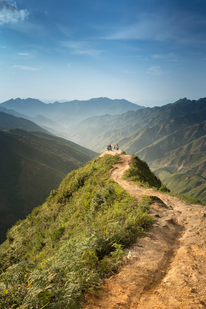
California’s moisture patterns are largely predicated on its proximity to both the Pacific Ocean and to the Sonora Desert. In the summer, wind patterns may pull humidity out of Arizona; in the winter, rainstorms from the north often peter out before arriving south of Point Conception. An ocean phenomenon known as “ENSO”, or the El Nino Southern Oscillation, is the key to understanding California’s pattern of drought alternating with extremely wet winters.
Average rainfall in California is roughly twenty-five inches a year, which is approximately one-third less than the national average. Southern California’s rainfall ranges from just over half that in the Los Angeles area to less than five inches a year in the desert areas. The climate is considered Mediterranean, with wet cool winters and long dry summers. This pattern is exacerbated the farther south one travels.
Usually, Southern California gets no rain at all during the summer months (unless there is an onshore wind flow bringing monsoonal air from the desert); the warm season lasts through September and into October. In the fall, there may or may not be some moisture, but the cooler season doesn’t really begin until late November, when the leaves finally start to change color. By December, the possibility of rain becomes exactly that, and events ranging from sprinkles to showers are possible until the end of June. However, most rainfall occurs during the month of February.
The Pacific Ocean current, which borders the coastline of California, moves in a circular fashion. The direction changes, or oscillates, depending on the atmospheric pressure in various parts of the sea. When the central and eastern parts of the Pacific warm, the trade winds decrease, and moisture moves up from South America and the tropics to the California seashore. When these areas cool, the moisture moves away from California towards the South Pacific and Australia. The warming trend is called “El Nino”, and the cooling trend is called “La Nina.”
Of the oscillations, the El Nino pattern is the most famous, as it can lead to massive rainstorms. Winter weather during an El Nino year is warm and wet, with storms that easily drop two or more inches of rain during an hour. 1982-1983 set a record for the century, with an El Nino pattern that led to almost double the rainfall for Southern California. The El Nino of 2004-2005 brought even heavier rainfall, with Pasadena, California, receiving over fifty inches of rain in a few short months. In an area that usually gets little to no rainfall, the storms feel like flash floods on steroids – landslides and flooding are both common. Streets such as Sepulveda Boulevard become raging rivers, and hamlets such as La Conchita, just south of Santa Barbara, are in constant danger of being buried under debris.
With the multi-year drought devastating California’s water reserves, the announcement of a 2015-2016 El Nino condition is being greeted with both cheers and apprehension. The addition of water to the depleted stores is of course welcome, but the dry ground and fire damaged areas will not be able to hold heavy rain. Fortunately or unfortunately, this coming year’s ENSO is predicted to be a weak one, which means that there might or might not be more rain.
You Should Also Read:
The Seasons of California

Related Articles
Editor's Picks Articles
Top Ten Articles
Previous Features
Site Map
Content copyright © 2023 by Korie Beth Brown, Ph.D. . All rights reserved.
This content was written by Korie Beth Brown, Ph.D. . If you wish to use this content in any manner, you need written permission. Contact Korie Beth Brown, Ph.D. for details.